MarketsPrinces St / Grand Paradefree
The English Market
Ireland's most storied covered food market, trading since 1788 — fishmongers, spice stalls, tripe & drisheen, the Farmgate above.
✓ Cork City Council
Parks, free workouts, playgrounds, piers, mailboxes, shipping counters. No ads, no ranking games — just what's there, with its source.
Ireland's most storied covered food market, trading since 1788 — fishmongers, spice stalls, tripe & drisheen, the Farmgate above.
A pocket of green off Grand Parade, with a stretch of the medieval city wall.
Riverside gardens with the Cork Public Museum, the fountain and Daly's 'Shakey' Bridge.
A tree-lined riverside walk out past Páirc Uí Chaoimh — the city's running and rowing water.
The city's main An Post office.
What's on the walls and in the halls — street art, landmarks, movie scenes, the museums and stages of the ledger — and the zips this one is twinned with, by decree and by geometry.
The tale of the world's largest 19th-century butter exchange, up in Shandon. Admission at the door.
The riverside civic palace, rebuilt after the 1920 Burning of Cork.
A 17th-century star fort with free ramparts and rooftop views over the rooftops.
Walled heritage gardens and convent — an oasis and the story of Cork's education pioneer.
The 'four-faced liar' clock tower — climb it and ring the bells out over the city. 1722. The tower is the skyline for free; the climb and the ropes are ticketed.
William Burges's Gothic masterpiece (1879), three spires above the south channel, on the city's founding site. The spires are free from every angle; stepping inside is ticketed.
Since 2020 the Ardú project has put large-scale walls by Irish artists — Conor Harrington (a Corkman), Maser, Aches, Shane O'Driscoll among them — across the city centre. New walls most years; the whole trail is a free afternoon.
Coventry first (1969), then Rennes (1982), San Francisco (1984), Cologne (1988), Swansea (1994) and Shanghai (2005) — the Rebel City's jumelage ledger.
Cork's antipode falls in the Southern Ocean beside the Antipodes Islands — named, quite literally, for sitting opposite these latitudes of the British Isles. Nobody lives there: it is a nature reserve of penguins, albatross and one of the world's rarest parakeets, landing permitted only by permit. The exact other side of the world from a city of pubs is a rock where no one is allowed to stay.
Same parallel, longitude flipped across Greenwich, and the point lands in the flat Dutch east near Zwolle — a Hanseatic town of canals and a star-shaped moat. Cork built itself on marsh between two channels of the Lee and spent centuries culverting them into streets; the Dutch made the same bargain with water and simply never stopped negotiating.
Latitude mirrored below the equator: 51.9°S on this meridian is deep in the South Atlantic, closer to Antarctica than to anywhere warm. The nearest town of consequence is Puerto Williams on the Beagle Channel — the southernmost town on Earth, and like Cork a port that thinks of itself as the last stop before open water.
The zip's other residents — the animals, plants and corals you can actually meet here, with where to find them and when they show up.
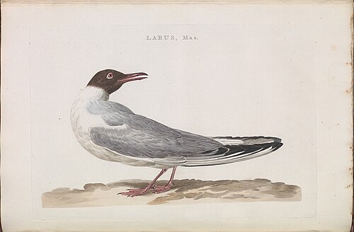
The polite small gull of the winter quays — chocolate hood in summer, smudge behind the eye the rest of the year.
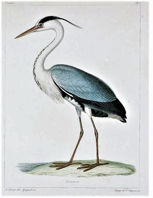
Statue-still on the weirs and quay steps, running the Lee's fish counter with infinite patience.
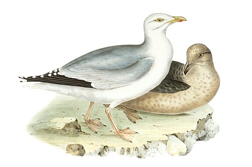
Nests on the city's rooftops and will tax your chips on Pana with zero remorse. The ledger is honest: this is their city too.
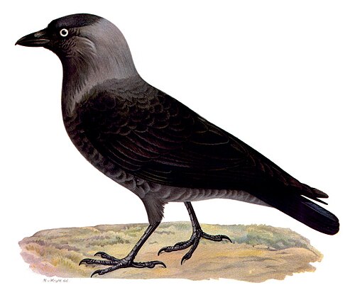
The grey-eyed chatterers of Shandon — they treat the four-faced liar as an apartment block with a clock on it.
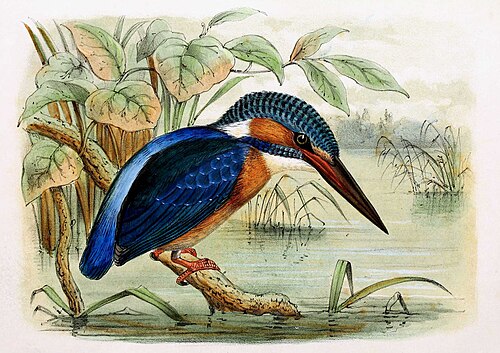
A blue bolt up the south channel when the water runs clear — blink and you've missed the best bird of your week.
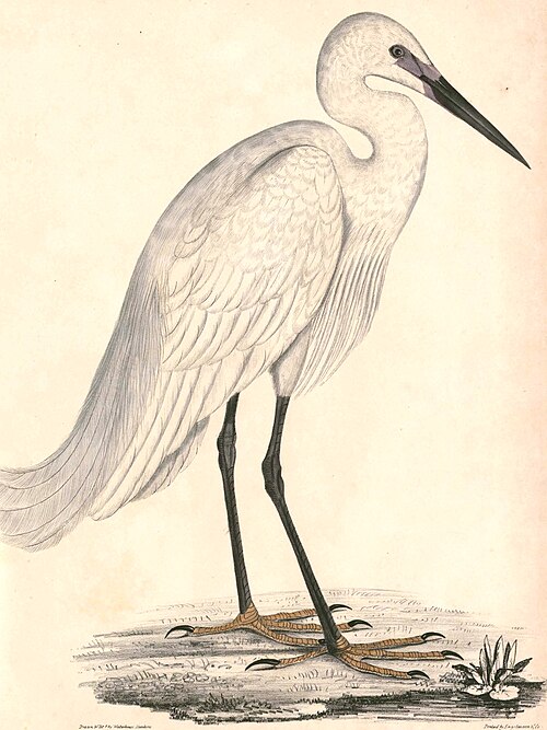
The white flash on the channels — a 1990s arrival to Ireland that liked Cork and stayed.
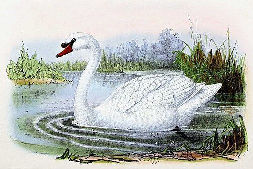
The Lough's resident fleet — the little lake has been a legal wildfowl refuge since 1881, and the swans hold it like a title deed.
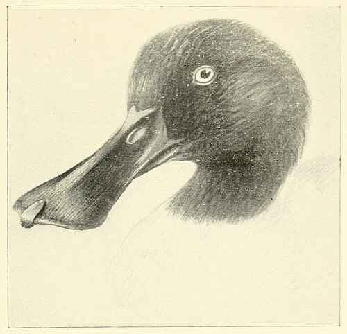
The Lough's winter specialty — shoveler numbers here reach national importance, spoon-bills sweeping the shallows all season.
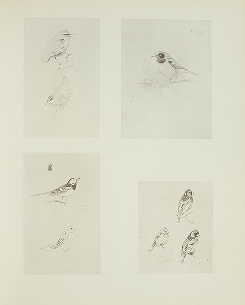
Works the pavements of the island city tail-first — and gathers in chattering winter roosts in the centre's trees after the shops shut.
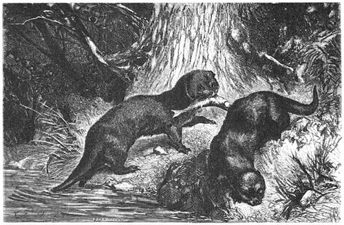
Cork's quiet celebrity — UCC zoologists DNA-typed the spraints and counted about eleven otters living in the Lee and its channels through the city. Watch the quay walls at dusk; they commute past the bus station.
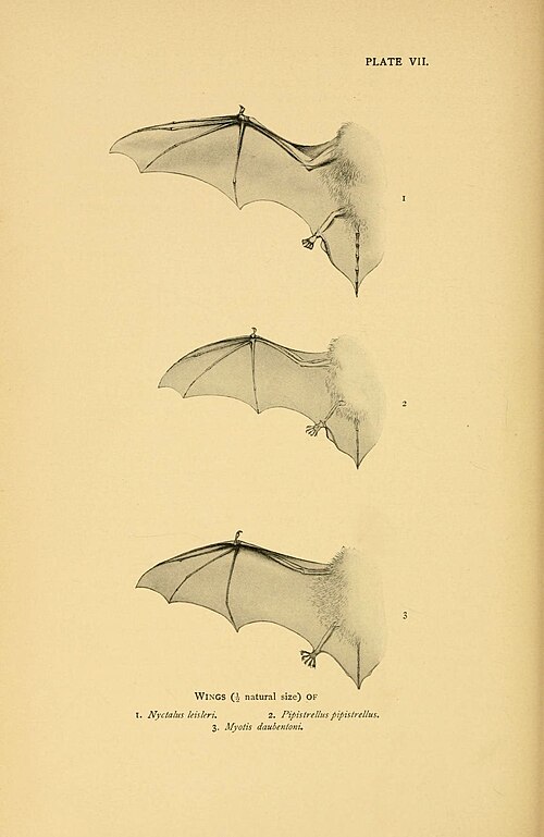
Ireland's biggest bat — and Ireland holds Europe's most important population — hawking moths over the Lee and the Marina at dusk.
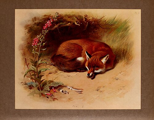
Runs the after-hours city on the same streets as the taxis — Barrack St to the Marina without paying a toll.
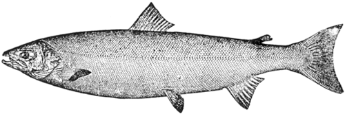
Still runs the Lee through the middle of the city — anglers wade within sight of the weirs when the water's right. A city-centre salmon river is rarer than it sounds.
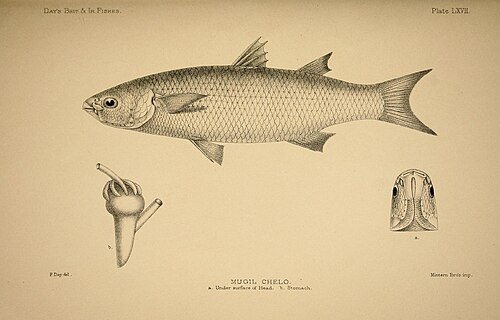
The slow grey shadows shoaling under the bridges on a rising tide — the channels' most watchable fish, utterly indifferent to bread.
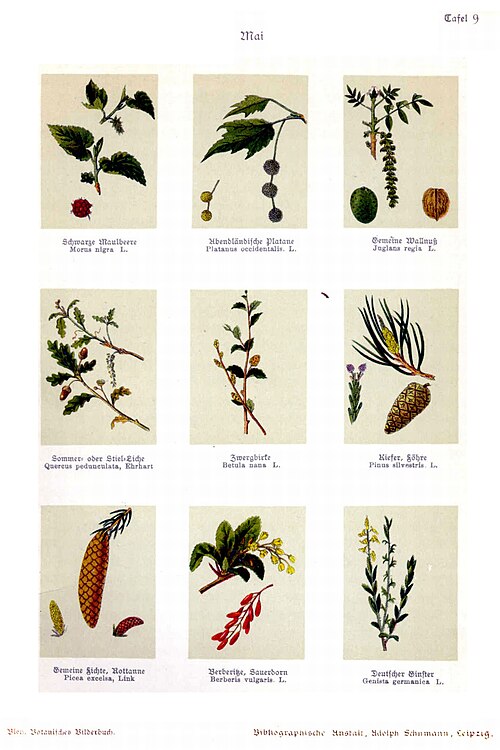
The dappled rows of the South Mall and Grand Parade — the merchant city's chosen shade, older than most of the banks it shaded.
Every way in, out and across the zip — the trains and where they're headed, the buses, the bike docks, a cab when you need one, and what to do with a car.
The rail hub across the river on Lower Glanmire Rd — intercity to Dublin on the hour, commuter trains around the harbour. · T23
Knocknaheeny to Mahon Point, straight through the centre — the workhorse of the network.
The student line: station, centre, UCC's edge, out to the Bishopstown campus.
Mayfield to Curraheen through St Patrick's St — the east–west spine.
Ballincollig through the centre to Carrigaline — Cork's first round-the-clock route.
Bus Éireann's coach hub — intercity and airport coaches out of the one yard.
The public bike scheme since 2014 — stations ring the island and the quays; first 30 minutes free with an annual card.
Ranks on St Patrick's St and the South Mall; Free Now is the app the city actually uses.
The hire desks cluster at Cork Airport, fifteen minutes south; a couple of depots sit on the city's edges.
Park on the South Link, ride the shuttle in — the sane match-day and Christmas option.
Grand Parade, Paul St, North Main St — the centre's decks; evenings and Sundays are the kind hours.
The block from below and at the corner — the traffic signals that time the street, and the manholes, drains and subway mouths that open onto everything running beneath it. Counted from OpenStreetMap; the parts no city publishes are named, not guessed.
Count is OpenStreetMap-derived — it maps each signalized crossing separately, so approaches are clustered into intersections (≈, not exact). The timing isn't public at all: per-signal cycle plans aren't published. Most run fixed, coordinated cycles you can learn by standing at the corner; some busier crossings are sensor-actuated or adaptive to live traffic — where a city states which, it's tagged above; where it won't, it reads Not published.
The surface access is mapped — manholes, storm drains, subway mouths and vents. What they open onto isn't: the water, sewer, gas and cable networks that run below the block are not public geometry, so they're named here, never drawn as fake lines. Points from OpenStreetMap.
Every café, restaurant, bar and counter on the ledger — typed and faceted straight from the knowledge layer.
The zip's flagships, staples and indies, the brands they carry, and the shared product vocabulary underneath — the graph an integrated zip-POS would settle against. 0 retailers · 0 brands tracked.
The block's human makeup — the cohorts, the day-vs-night swell, the mix of who shows up. Set a lens up top and you'll see yourself among the neighbours.
About 26.8k more people are here by day than sleep here.
Every seat that holds power over the block, from the community board to the president. The template ships the seats; each edition fills the names from a dated source — an open seat means not yet sourced, never guessed.
The police surveillance technology documented over this block — plate readers, cameras, drones, face recognition and the rooms that pool them. Counted from the Atlas of Surveillance; a category with none documented is marked as such, never guessed, because absence of a record is not proof a tool isn't in use.
Software that matches faces from cameras or photos against a database to put a name to a person — often without their knowledge or consent.
Cameras that photograph every passing plate and log where and when it was seen, building a searchable map of a car's movements over months or years.
“Stingray” devices that impersonate a cell tower so nearby phones connect to them, revealing the location and identity of every handset in range.
Algorithms that forecast where crime will happen or who is likely to be involved, directing patrols and scrutiny toward people and blocks by statistics.
Unmanned aircraft used for aerial surveillance, crowd monitoring and, increasingly, as first responders dispatched to calls with cameras rolling.
Networks of always-on microphones on streetlights and buildings that listen for gunfire — and can capture voices — then send police to the sound.
AI layered onto camera feeds to automatically flag people, objects or behaviour, and to search hours of footage for a shirt colour, a bag, a face.
A roster of private security cameras — doorbells, shops, homes — that residents register or connect, letting police pull footage from across the block.
Cameras worn by officers. A record of encounters that can protect the public — but also a mobile, searchable feed whose footage the department controls.
Commercial services that pool phone, location, social-media and public records into one search, letting police buy access to data they'd need a warrant to collect.
A control room fusing live camera, plate, gunshot and phone feeds onto one wall — the hub that turns scattered sensors into continuous watching.
A state or regional office where local, state and federal agencies share intelligence — pooling records on people across jurisdictions with little public oversight.